Earth and Maps · Built from a recipe
Relief Map
G4 on the minor comb. Its drum rings at 406.1 Hz.
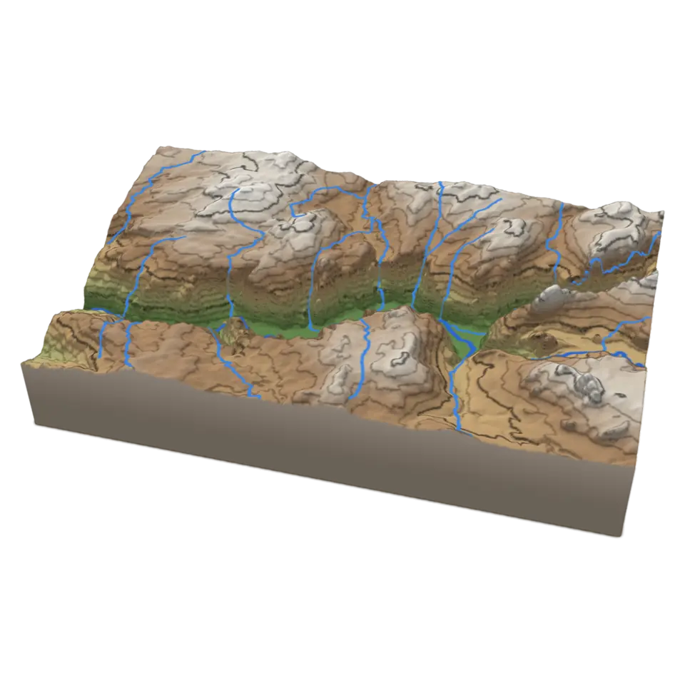
A relief map shows the shape of the land.
- Shelf
- Earth and Maps
- Kind
- Built from a recipe
- Sound
- Yes
- Licenses
- Public domain
Its note
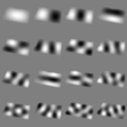
Splashery stretches a drumhead over this Splash's outline, twelve inches across, and finds the ways it can ring. Its lowest is 406.1 Hz, 61 cents sharp of G4, the nearest tine on the comb. The next fifteen are its overtones, and each one draws its own figure: sand gathers on the lines that stay still.
- 1406 Hz
- 2529 Hz
- 3688 Hz
- 4736 Hz
- 5806 Hz
- 6860 Hz
- 7926 Hz
- 81027 Hz
- 91067 Hz
- 101076 Hz
- 111129 Hz
- 121184 Hz
- 131221 Hz
- 141243 Hz
- 151313 Hz
- 161359 Hz
How to play
Tap to send a contour line up the cliffs and water down the streams. Change the map and layers in the Splash tab.
Its controls
| Control | Kind | Range | Start |
|---|---|---|---|
| Sweep a contour and the streams | Tap | ||
| Sweep | Button | ||
| Map | List | 3 choices | Height colors |
| Contour lines | Setting | ||
| Streams | Setting |
About it
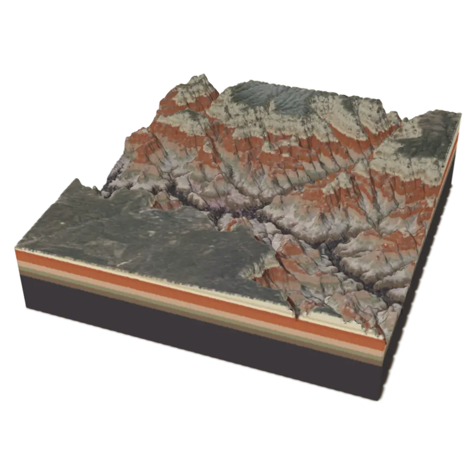
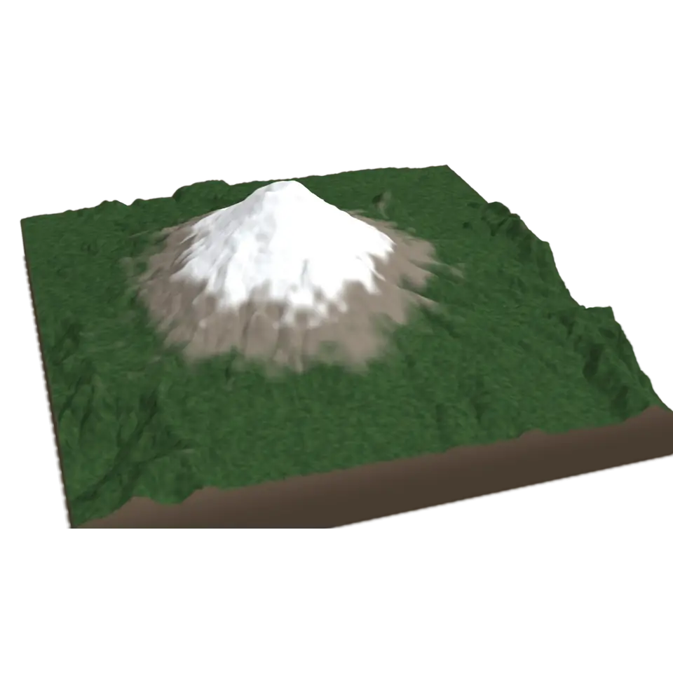
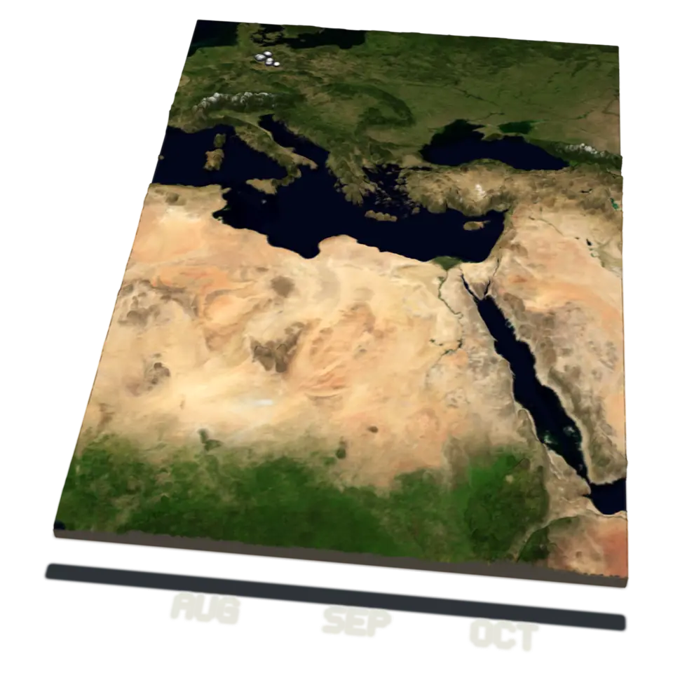
A relief map shows the shape of the land. Contour lines join points of the same height: here one every 100 meters, with a heavier line every 500, so lines close together mean a steep slope. This is Yosemite Valley in California, about 18 by 11 kilometers, with El Capitan and Half Dome rising more than 1,000 meters above the Merced River.
The heights come from the U.S. Geological Survey's 3D Elevation Program, and the streams from the National Hydrography Dataset. In the Splash tab, Map switches between height colors, the aerial photo and land cover (forest, meadow, bare rock and buildings, from the National Land Cover Database), and the switches turn the contour lines and streams on and off. Tap it and a glowing contour climbs from the valley floor to the rim while light runs down every stream, the way the water flows.
Details
- Splats
- Opens at 200,000 at Mid Detail, 193,854 at Low, and up to 1,000,000 at Max
Sources and credits
| Work | By | License |
|---|---|---|
| 3D Elevation Program (3DEP), The National Map | U.S. Geological Survey | Public domain |
| National Hydrography Dataset | U.S. Geological Survey | Public domain |
| National Land Cover Database 2021 (MRLC) | U.S. Geological Survey and the MRLC consortium | Public domain |
| The National Map orthoimagery (NAIP and Landsat) | USDA Farm Service Agency, NASA and the U.S. Geological Survey | Public domain |