Science · Built from a recipe
Contour Lab
F4 on the minor comb. Its drum rings at 363.4 Hz.
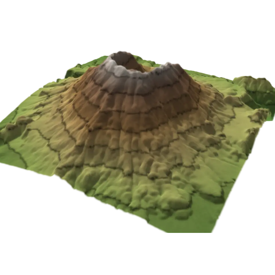
A contour line joins places at the same height, and a map with them shows a 3D shape on flat paper.
- Shelf
- Science
- Kind
- Built from a recipe
- Your own
- About these contours
- Sound
- Yes
- Licenses
- Public domain
Its note
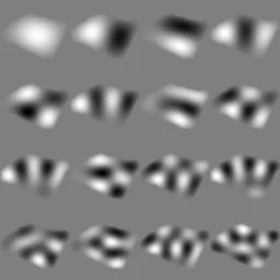
Splashery stretches a drumhead over this Splash's outline, twelve inches across, and finds the ways it can ring. Its lowest is 363.4 Hz, 69 cents sharp of F4, the nearest tine on the comb. The next fifteen are its overtones, and each one draws its own figure: sand gathers on the lines that stay still.
- 1363 Hz
- 2514 Hz
- 3623 Hz
- 4669 Hz
- 5754 Hz
- 6818 Hz
- 7887 Hz
- 8919 Hz
- 9969 Hz
- 10999 Hz
- 111075 Hz
- 121116 Hz
- 131136 Hz
- 141171 Hz
- 151231 Hz
- 161244 Hz
How to play
Tap to pull the layers apart; tap again to stack them. Pick a place in the Splash tab.
Its controls
| Control | Kind | Range | Start |
|---|---|---|---|
| Pull the layers apart | Tap | ||
| Pull the layers apart | Switch | Off | |
| Place | List | 3 choices | Mount St. Helens |
| Height | List | 3 choices | Stretched 2× |
About it
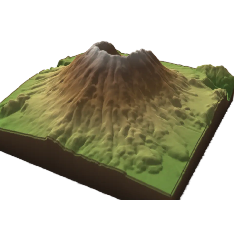
A contour line joins places at the same height, and a map with them shows a 3D shape on flat paper. This lab cuts real land into layers, one for each step of height, so you can see where the lines come from.
The land is measured: the U.S. Geological Survey's elevation data for Mount St. Helens, the Grand Canyon or Yosemite Valley, about 35 m between samples. Each layer's edge is a contour line. Tap to lift the layers apart and see each edge on its own; seen from straight above, the edges are the nested rings of a contour map. Lines close together mean steep ground; far apart, gentle. Choose the place and how much the heights are stretched.
Sources and credits
| Work | By | License |
|---|---|---|
| Mount St. Helens: USGS 3DEP 1/3 arc-second elevation, a square averaged to 256 × 256 samples | U.S. Geological Survey, 3D Elevation Program (The National Map) | Public domain (USGS 3D Elevation Program) |
| The Grand Canyon: USGS 3DEP 1/3 arc-second elevation, a square averaged to 256 × 256 samples | U.S. Geological Survey, 3D Elevation Program (The National Map) | Public domain (USGS 3D Elevation Program) |
| Yosemite Valley and Half Dome: USGS 3DEP 1/3 arc-second elevation, a square averaged to 256 × 256 samples | U.S. Geological Survey, 3D Elevation Program (The National Map) | Public domain (USGS 3D Elevation Program) |