Studio · Built from a recipe
Point Clouds
C5 on the major comb. Its drum rings at 526.7 Hz.
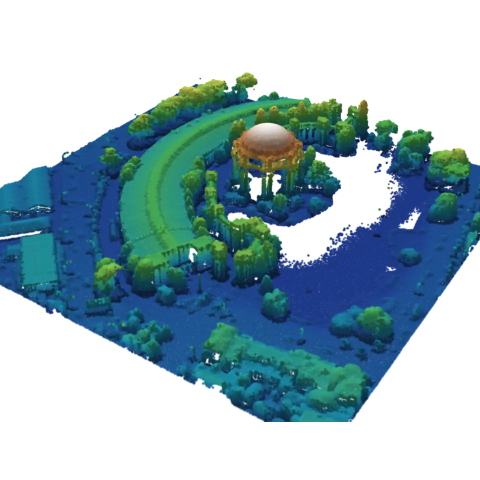
A lidar scanner sends out laser pulses and times their echoes, so each echo becomes a point with its place, how strongly it reflected (intensity) and often a class (ground, vegetation, building, water).
- Shelf
- Studio
- Kind
- Built from a recipe
- Your own
- Your own point cloud
- Sound
- Yes
- Licenses
- Public domain, MIT, Apache-2.0, BSD
Its note
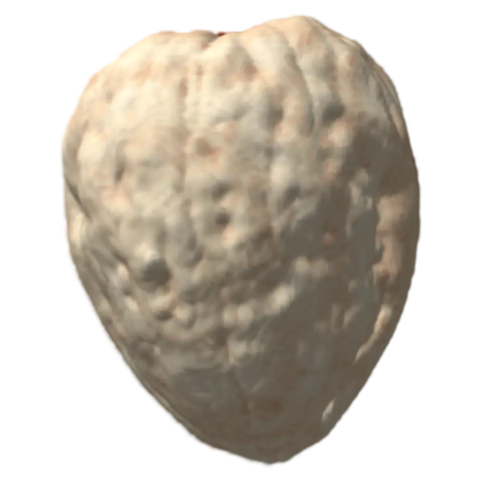
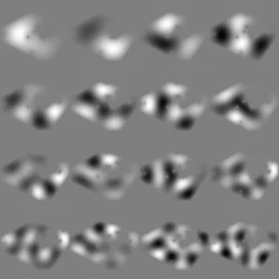
Splashery stretches a drumhead over this Splash's outline, twelve inches across, and finds the ways it can ring. Its lowest is 526.7 Hz, 11 cents sharp of C5. The next fifteen are its overtones, and each one draws its own figure: sand gathers on the lines that stay still.
- 1527 Hz
- 2593 Hz
- 3726 Hz
- 4767 Hz
- 5871 Hz
- 6937 Hz
- 7971 Hz
- 81051 Hz
- 91093 Hz
- 101119 Hz
- 111134 Hz
- 121213 Hz
- 131240 Hz
- 141261 Hz
- 151280 Hz
- 161348 Hz
How to play
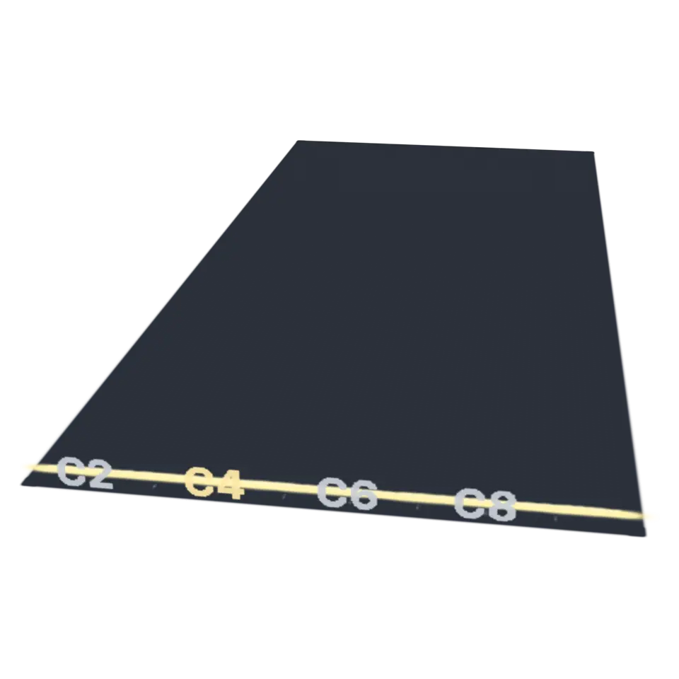
Tap to sweep a lidar scan line across it. Turn on Measure in the Splash tab, then tap two points.
Its controls
| Control | Kind | Range | Start |
|---|---|---|---|
| Sweep a lidar scan line over it | Tap | ||
| Scan | Button | ||
| Pin (Measure on: tap the points) | Button | ||
| Point cloud | List | 4 choices | Palace of Fine Arts, San Francisco (LAZ) |
| Color by | List | 4 choices | Height |
| Shaded relief (light from the northwest) | Setting | ||
| Point size | Setting | ||
| Measure: tap two points | Setting | ||
| Thin | List | 5 choices | Keep every point |
| Crop with a box | Setting | ||
| Box: west side | Setting | ||
| Box: east side | Setting | ||
| Box: bottom | Setting | ||
| Box: top | Setting | ||
| Box: north side | Setting | ||
| Box: south side | Setting | ||
| Box: keep what is outside it | Setting | ||
| Up is | List | 3 choices | Automatic (Z, or Y for PLY) |
About it
A lidar scanner sends out laser pulses and times their echoes, so each echo becomes a point with its place, how strongly it reflected (intensity) and often a class (ground, vegetation, building, water). Millions of points make a point cloud. This splash opens LAS, LAZ (compressed LAS), PLY, XYZ and PTS files and draws its points as small splats (as many as this device can show, all of them on most computers), colored by height, intensity, classification or the file's own colors. Water barely reflects the laser, so lakes and the sea show as holes.
The samples are real airborne lidar from the U.S. Geological Survey's 3D Elevation Program: San Francisco's Palace of Fine Arts, the Golden Gate Bridge's south end with Fort Point, and Meteor Crater in Arizona, a hole 1.2 kilometers wide blasted by an iron meteorite about 50,000 years ago. Measure gives the straight distance between two points, the distance along the ground and the rise. Crop and Thin work on every point, and Save writes PLY, LAS or XYZ. Your files stay on your device.
Details
- Splats
- Opens at 200,000 at Mid Detail, 113,204 at Low, and up to 377,348 at Max
- Your own files
- .las, .laz, .ply, .xyz, .pts, .txt, .csv
Sources and credits
| Work | By | License |
|---|---|---|
| USGS 3DEP lidar, CA_SanFrancisco_1_B23 (300 m around the Palace of Fine Arts, 450,000 of its 8 million points) | U.S. Geological Survey, 3D Elevation Program | Public domain (U.S. Government work) |
| USGS 3DEP lidar, CA_SanFrancisco_1_B23 (340 m around Fort Point, 450,000 of its points) | U.S. Geological Survey, 3D Elevation Program | Public domain (U.S. Government work) |
| USGS 3DEP lidar, AZ_NorthEast_3_D23 (1.6 km around Barringer meteorite crater, 450,000 of its 8.5 million points) | U.S. Geological Survey, 3D Elevation Program | Public domain (U.S. Government work) |
Libraries
- MIT
- gifenc 1.0.3
- Apache-2.0
- laz-perf 0.0.7 (lane LSTUDIO, copied from Splashery)
- MIT, BSD
- WebP codec (splat-transform, with libwebp)